Noah Braun · 15 October 2026
How Amateur Meteorologists Contribute to Understanding Microclimate Variations in Protected Coastal Inlets
Protected coastal inlets create distinct microclimate patterns where temperature, humidity, and wind speed shift rapidly over short distances because of sheltering landforms and tidal exchanges, and amateur meteorologists have built networks of personal weather stations that capture these localized changes at resolutions official monitoring grids often miss.
Data Collection Methods in Inlets
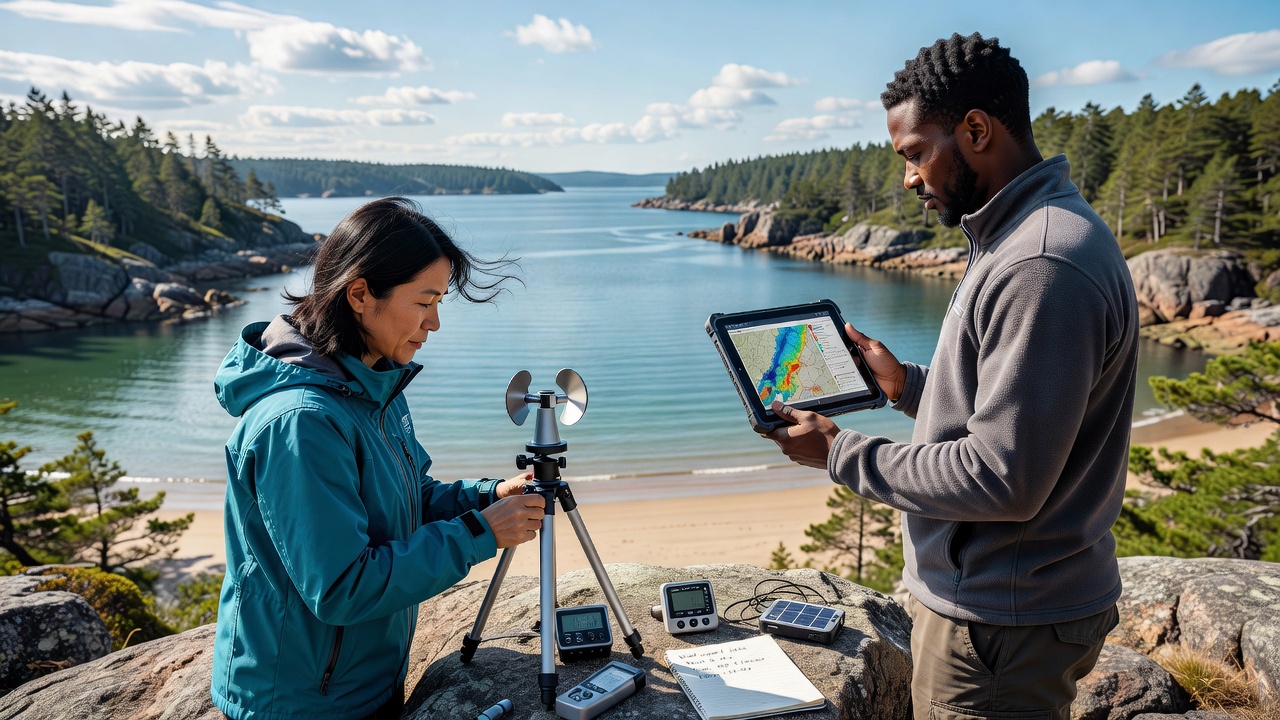
Amateur observers deploy compact sensors on docks, private piers, and shoreline properties to record continuous readings of air temperature, barometric pressure, and precipitation while connecting their stations to shared online platforms that aggregate the information in real time. These devices sample conditions every few minutes, which allows researchers to map thermal gradients that form when cooler marine air pools against warmer upland slopes during evening hours. Studies from multiple inlet systems show that such dense sampling reveals wind shadows extending several hundred meters into the water body, patterns that broader weather models smooth over.
Participants often calibrate their instruments against nearby professional stations operated by national agencies, and they adjust for local obstructions such as tree lines or building clusters that alter airflow at the inlet scale. In regions like the Pacific Northwest and parts of Atlantic Canada, these volunteer networks have supplied multi-year datasets that track seasonal shifts in humidity layering near the water surface.
Contributions to Microclimate Mapping
Official meteorological services maintain stations spaced kilometers apart, yet protected inlets contain microclimates that change across tens of meters due to variations in water depth, vegetation cover, and tidal flushing rates. Amateur contributions fill those spatial gaps by providing ground-truth measurements that improve interpolation models used in ecological and hydrological research. Data shared through citizen science repositories have documented persistent fog banks that linger in the inner reaches of certain inlets long after adjacent open-coast areas clear, a phenomenon tied to reduced wind mixing and higher evaporation rates from shallow tidal flats.
During October 2026, several inlet-focused projects recorded elevated humidity retention following a series of calm periods, and the resulting datasets helped refine evaporation estimates that feed into regional climate simulations. Observers note that combining amateur records with satellite-derived land surface temperatures produces more accurate representations of nocturnal cooling rates along inlet shorelines.
Integration with Professional Research
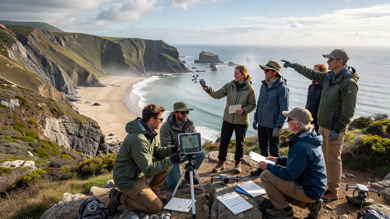
National meteorological organizations such as the Australian Bureau of Meteorology have begun incorporating selected amateur datasets into quality-controlled archives after applying standardized validation procedures. Similarly, Environment and Climate Change Canada has referenced volunteer observations when updating wind field models for enclosed waterways. These integrations allow scientists to examine how inlet-specific circulation interacts with larger synoptic systems without requiring additional permanent installations.
Researchers have used the combined records to identify threshold wind speeds below which thermal stratification develops rapidly, and they have correlated those thresholds with changes in dissolved oxygen levels measured by separate ecological monitoring programs. Amateur networks also supply rapid-response data during extreme events, such as post-storm temperature rebounds that official stations spaced farther apart cannot resolve at the inlet scale.
Challenges and Validation Practices
Quality control remains essential because sensor placement near reflective water surfaces or within vegetation can introduce biases that require correction algorithms. Volunteer groups address this by maintaining calibration logs and cross-checking readings against co-located reference instruments at regular intervals. Projects that publish their methods in open repositories demonstrate how consistent metadata standards improve the usability of amateur data for peer-reviewed studies.
Geographic coverage continues to expand as low-cost sensors become more reliable, and partnerships between amateur associations and academic institutions have produced training materials that standardize siting guidelines for inlet environments. These efforts increase the proportion of observations that meet research-grade criteria while preserving the spatial density that makes the networks valuable.
Conclusion
Amateur meteorologists supply high-resolution observations that document microclimate variations within protected coastal inlets at scales otherwise difficult to monitor, and their datasets integrate with institutional records to support refined modeling of temperature, humidity, and wind patterns. Continued expansion of validated volunteer networks will likely strengthen understanding of how these localized conditions influence broader coastal processes over time.